
Rocky River ZIP Code Coverage
The verified five-digit delivery ZIP for Rocky River is 44116. City offices, the public library, and the local postal service use it. The research did not locate a verified second five-digit Rocky River delivery ZIP, a local PO-box-only ZIP, a unique institution ZIP, or a public inventory of every address. The table therefore documents the one verified delivery code instead of inventing additional coverage.
| ZIP | Areas Covered | Post Office | Notes |
|---|---|---|---|
| 44116 | Standard street-delivery ZIP documented for Rocky River city offices, library, and postal service | Rocky River Post Office, 19525 Hilliard Blvd. | Confirm each delivery address in USPS ZIP Code Lookup. The facility's PO Box address does not establish city limits. |
A ZIP code directory can identify the documented delivery code, but only USPS can verify whether a particular numbered address receives that code. The local record trail begins with that address-specific result.
Verify Rocky River ZIP Code Delivery
Use USPS ZIP Code Lookup with the complete street address before searching a county parcel or a city record. Preserve the standardized form and the returned ZIP, then carry that same street address into MyPlace. If the property system presents several candidates, compare the parcel's physical location with the City street map and county GIS context. This sequence is more reliable than trying to turn a ZIP code into a broad person-name search.
- Enter the full Rocky River street address in USPS ZIP Code Lookup and retain the standardized address result.
- Use that exact street address in Cuyahoga MyPlace to identify the selected parcel, situs address, and legal-description clues.
- Check the parcel's physical position with city street or ward context and Cuyahoga GIS resources when the location is uncertain.
- Use the parcel and exact address for the Recorder or City record needed, rather than relying on the ZIP alone.
The USPS ZIP Code Lookup is the official address-verification route for this workflow.
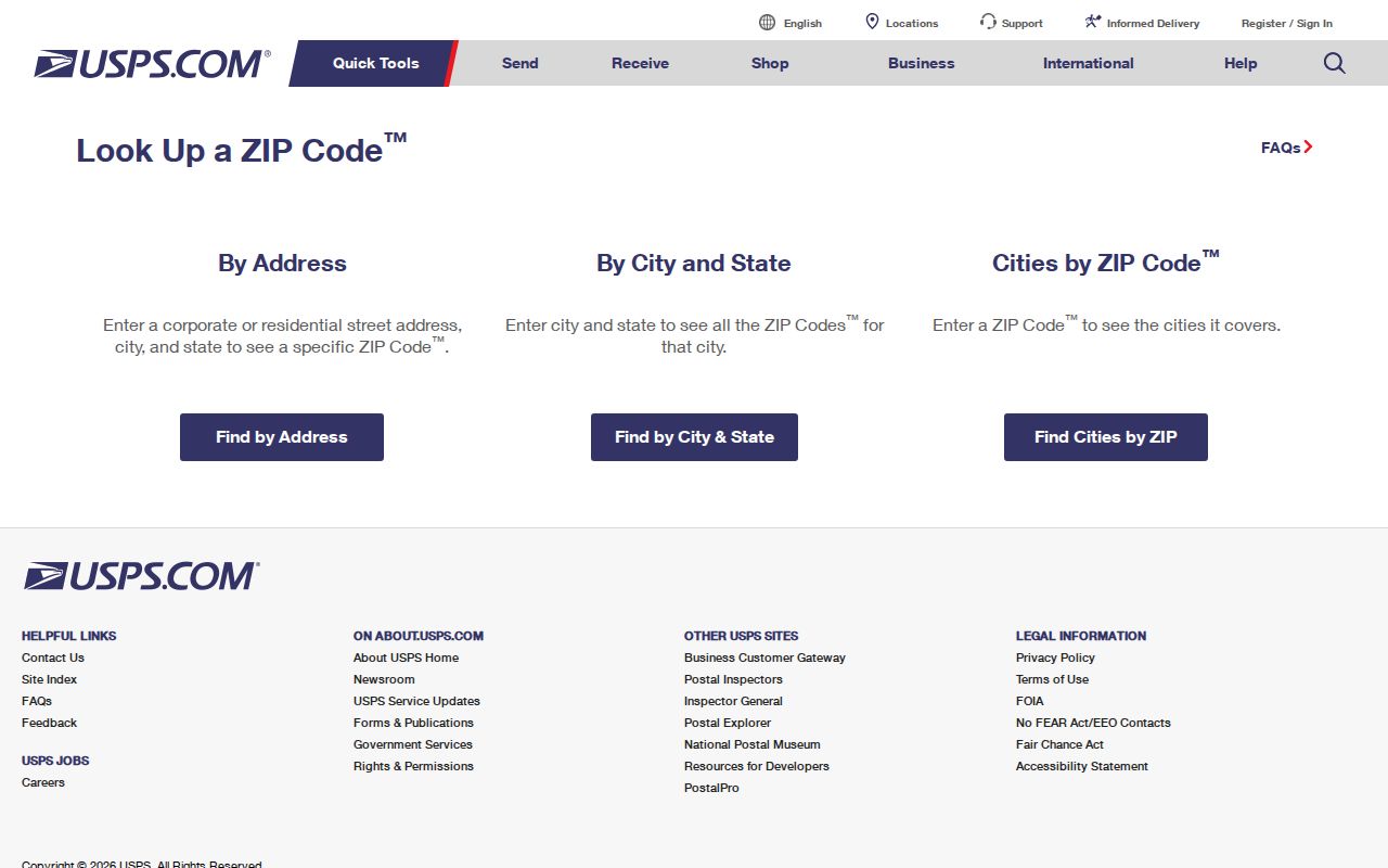
The USPS result verifies delivery information for the submitted address. It does not verify property ownership, city jurisdiction, or a person connected to that address.
Rocky River ZIP Code Post Office
The Rocky River Post Office is at 19525 Hilliard Boulevard, Rocky River, OH 44116-9998, with a published phone number of 440-356-2465. USPS lists carrier service and 24/7 PO Box access there. The 44116-9998 facility format is not proof that every address using 44116 is inside Rocky River's municipal limits. For a specific delivery question, use the address lookup or contact the post office.
The USPS Rocky River Post Office listing supplies the service and contact reference.
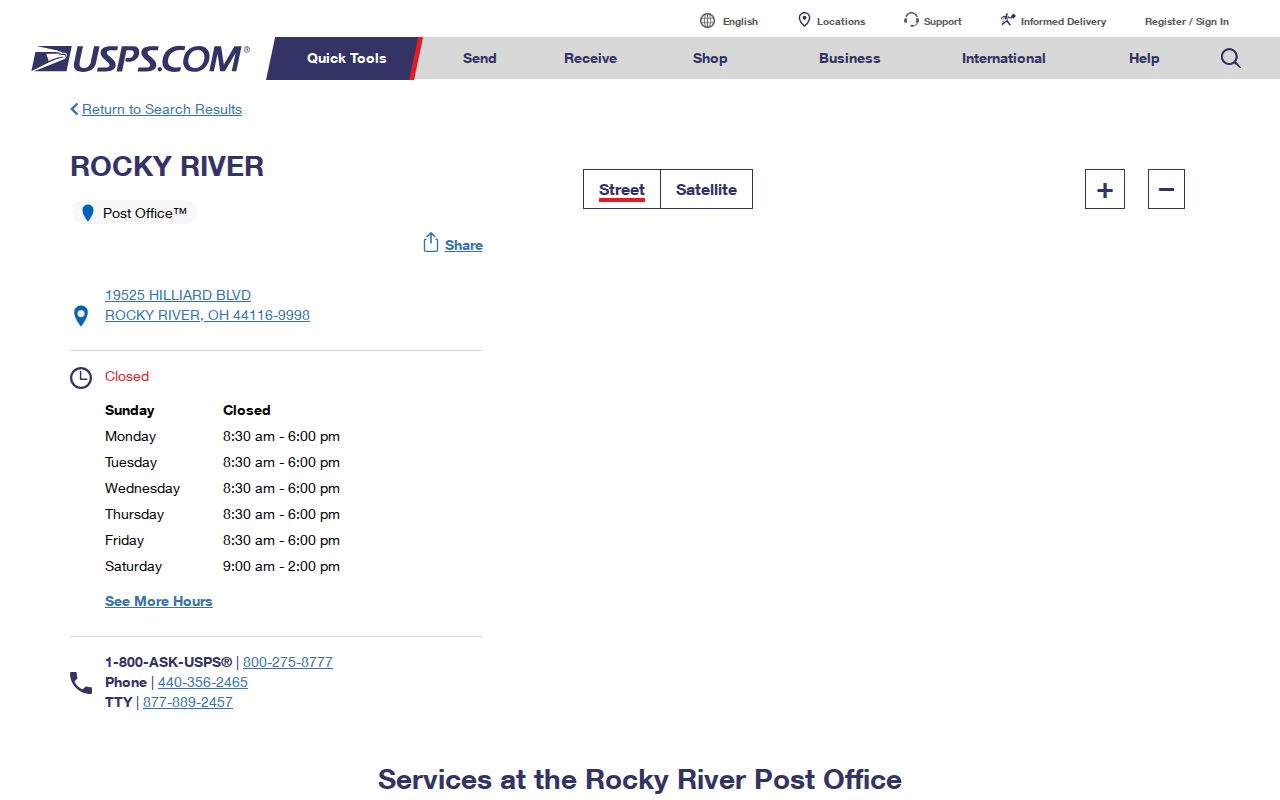
The facility listing provides postal-service context, while a complete-address lookup remains the test for a delivery ZIP.
Rocky River ZIP Code Map Context
Rocky River's City Maps page provides street, zoning, ward, and precinct maps. Those maps help place an address within the City's municipal and civic context. They do not validate mail delivery. Use the city map after USPS verification when a record search needs a street name, ward, precinct, or planning context, and use county parcel resources when the question is about the mapped property.
The Rocky River Community Profile offers city context for the geography shown around local services and assets.
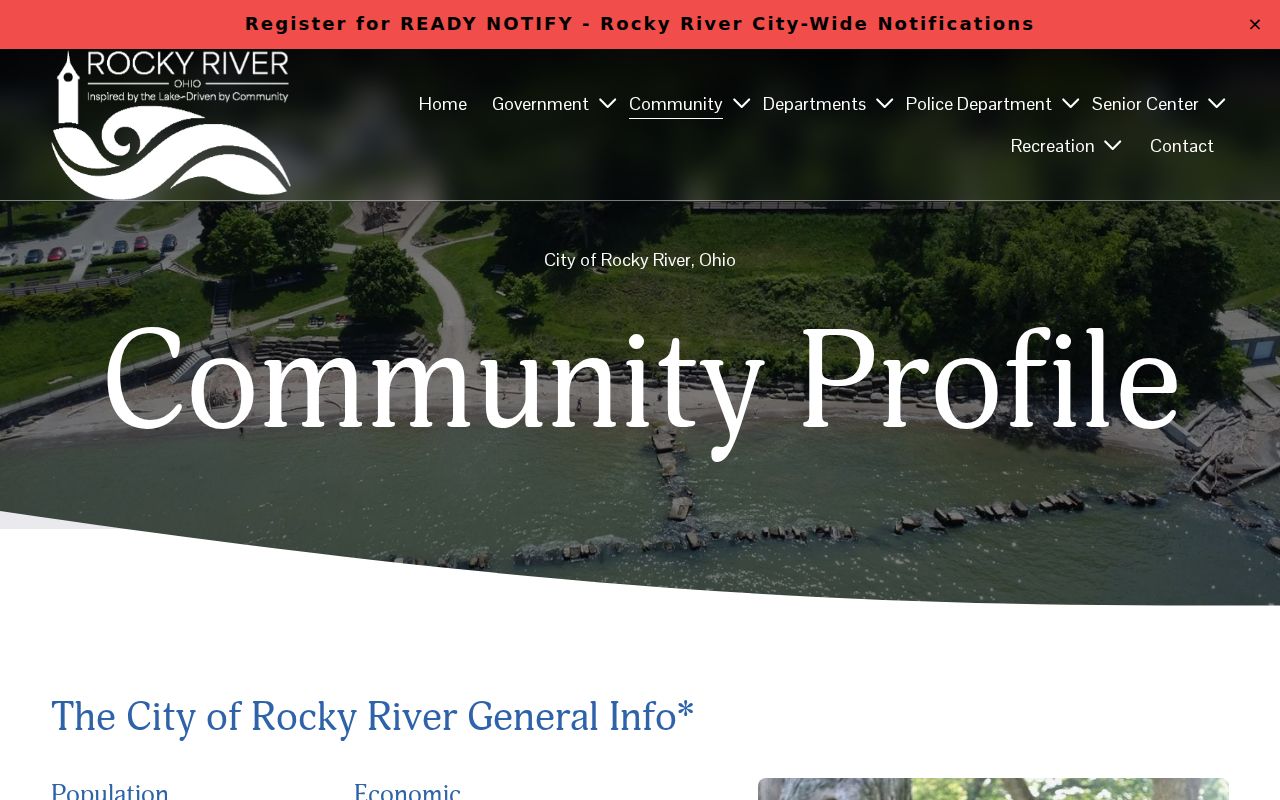
Community context is useful for orienting a Rocky River address, but it does not replace USPS delivery validation or the parcel record.
MyPlace and Rocky River ZIP Codes
MyPlace uses county property information, not the Postal Service's delivery authority. A selected property summary can include parcel number, owner, situs street, city and ZIP, legal description, land-use details, permits, and map context. That selected situs ZIP is a property attribute. It is useful after the exact address is known, but it does not override the USPS result for a mailing question.
The county documents MyPlace starting points of address, owner name, and parcel number. The research did not confirm a public ZIP-filter field in MyPlace, the Recorder, City tools, or the voter lookup. Do not expect a field for 44116 to create a citywide list of residents. The property system and Recorder are address- and parcel-based routes, and voter tools are individual verification or Board product routes subject to their rules.
| Input or route | What the source supports | What it does not establish |
|---|---|---|
| Complete address in USPS Lookup | Address-specific delivery ZIP verification | Parcel ownership or municipal boundary |
| Address, owner, or parcel in MyPlace | Selected property and parcel research start | USPS authority or a ZIP-wide name search |
| Parcel or address in Recorder research | A path to recorded-document clues | A complete list of people in a ZIP |
Rocky River ZIP Code Record Chain
After USPS validates a complete address, the useful record trail becomes parcel-based. Select the matching MyPlace property and preserve its situs street, city and ZIP alongside the parcel number and legal description. The Fiscal GIS Hub and plat resources supply spatial context for that selected property. The Recorder then offers a route to recorded instruments using the address or parcel clues available for the specific search. Each stage checks a different fact, so the results should be kept together rather than treated as interchangeable.
For example, a situs ZIP on MyPlace can help confirm that the selected parcel is the address under review, but it is not a USPS correction. A recorder instrument can identify a dated party and document number, but it is not a delivery record. City street, ward, zoning, and precinct maps place an address in municipal context, but they do not decide a mailing ZIP. This Rocky River ZIP code method prevents a valid postal result from being overread as proof of ownership, jurisdiction, or a current resident.
If an address has an older form, save both the USPS-standardized form and the historic street label before beginning parcel research. That simple recordkeeping step makes it easier to explain why two official sources use different wording for the same place. Retain the source, query date, and exact address so the Rocky River result can be checked again.
Rocky River ZIP Codes Are Not Boundaries
ZIP codes are delivery geography. USPS explains that ZIP assignment follows post offices, delivery units, carrier routes, mail volume, geography, and operational needs, rather than city boundaries. A postal label of Rocky River does not prove the legal City line. For an address near a boundary or with an unexpected postal designation, compare the USPS result with the City ward or precinct map and the Cuyahoga GIS parcel before asking for a city, court, or property record.
Postal-city mismatch. A Census ZIP Code Tabulation Area is a generalized mapping representation built from Census blocks, not a legal city boundary. Political geography is assigned from physical location, not the postal mailing address.
The Census postal-city geography guidance explains why a mailing address and a political boundary must be evaluated separately.
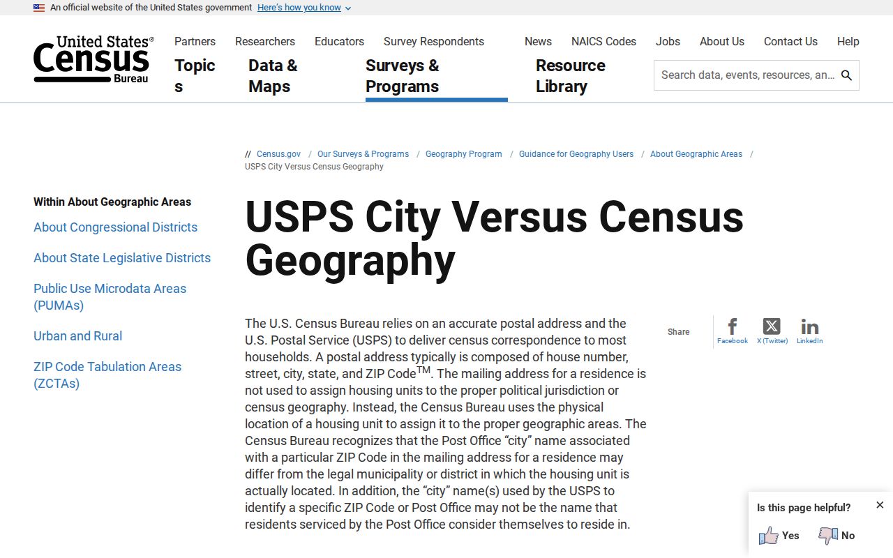
The Census guidance helps interpret mapped postal geography, while USPS remains the delivery authority for a complete address.
Rocky River ZIP Code Search Limits
No reviewed source documents a public ZIP-wide person-name search for Rocky River. MyPlace begins with address, owner, or parcel. The Recorder works from recorded-document search keys. The City Building Department is a contact channel for address-linked questions, not a documented ZIP directory. Ohio's voter lookup is an individual verification tool, while the Board may have city or district list products under its current schedule and privacy rules.
That limit is useful. It keeps a ZIP code directory focused on what the source can establish: delivery geography, address validation, and the right next record. Once the ZIP narrows the location to one address, the Rocky River Street Directory has the parcel-to-record method.
Rocky River ZIP Code History
An old address can fail USPS or a current property lookup because its street label has changed. For historic Rocky River research, search Wagar under Columbia or Columbus, Detroit under North Ridge, Blount with Lake Road, and Wooster with Mastick. Then compare the correct directory or map year with the legal description and parcel history. These local name bridges are a stronger answer than guessing that a modern ZIP alone will resolve an older address.
Rocky River is bounded by Lake Erie to the north and the Rocky River or Metroparks area to the east. That physical setting is another reason to check parcel and municipal maps when a postal label appears uncertain.
Rocky River ZIP Code Terms
Postal and property words are easy to mix up. Keeping the terms separate makes a Rocky River ZIP code search more accurate and prevents a map label from doing more work than the source supports.
- ZIP Code
- A postal routing code used to direct mail, not a legal description or municipal boundary.
- ZIP+4
- An added delivery detail that refines a basic ZIP for a narrower delivery segment.
- PO Box ZIP
- A code used for post-office box service; it does not describe every street delivery in a city.
- Carrier route
- A postal delivery route used for mail operations, not a city ward, precinct, or parcel boundary.
For lawful personal, civic, family-history, or property research, use only the detail needed for the record request. Do not use address information to stalk, harass, intimidate, or harm anyone.