
Search a Rocky River Street
A Rocky River street search works best as an address trail, not as a list of everyone connected to a road. Cuyahoga County directs users to MyPlace with an address, owner name, or parcel number. Select the matching property, preserve the parcel number, situs address, legal description, and any tax-year context shown, then compare the parcel with county map resources. The Recorder can then connect the parcel or recorded parties to a dated instrument. The sequence is useful for family history, estate questions, a property sale, or confirming the record behind an address.
- Enter the known Rocky River address in MyPlace. If it does not resolve, use the owner name or parcel number only after checking that it belongs to the same property.
- Write down the parcel number, situs address, and legal-description or subdivision clues exactly as displayed. Keep the mailing address separate from the situs.
- Use the Fiscal GIS Hub or plat route to check the parcel's mapped position and nearby streets. The research did not capture the viewer's exact tools, so use only controls visible in the live interface.
- Search Cuyahoga Official Records Search with the matching party, parcel identifier, subdivision clue, document number, or recorded-date range.
- For older context, compare permits, City Council material, maps, and a dated criss-cross directory. A listed historical name is evidence for that edition, not proof of a present resident.
The key result is a documented parcel-to-record chain. It may identify a property owner or a party to an instrument, but it does not create a current resident roster for the street.
Rocky River Street Directory Records
Several Rocky River sources accept an address or use it as a practical record key. Their coverage differs. MyPlace begins the current parcel trail, the GIS and plat resources add location context, and the Recorder supplies the county instrument index. City and library resources can add a dated project or directory entry when the question concerns an earlier period.
| Address record | Keeper | What it can show | Access channel |
|---|---|---|---|
| Parcel and tax record | Cuyahoga Fiscal Officer | Address, owner-name and parcel discovery; available tax-year material | MyPlace by address, owner, or parcel; Fiscal Office contact |
| GIS and plat context | Fiscal Officer GIS Hub | Parcel location, map context, and plat relationship | Fiscal GIS Hub and county real-property links |
| Recorded instrument | Recorder / Transfer & Recording | Recorded party, document type and number, date, parcel or subdivision clues | Official Records Search, counter, or public-records request |
| Building material | Rocky River Building Department | Accessible project, application, or permit material tied to an address | CitizenServe, City Hall, department contact, or request |
| Historical directory | CPL, RRPL, and related collections | A name-to-address or address-to-name entry in a particular edition | Directory shelf, microfilm, catalog, or collection staff |
Use the same parcel and legal-description clues across the sources. A matching street number alone can be a weak match when historic labels or subdivision descriptions have changed.
MyPlace Starts Rocky River Searches
MyPlace is the county's public property-search entry point. Its documented starting fields are deliberately limited: address, owner name, and parcel number. This makes the portal a good first stop for a Rocky River street directory search, while the selected record supplies the identifying information needed to request or verify a more authoritative record.
| Portal | Observed field or control | How it fits the address trail |
|---|---|---|
| MyPlace | Address | Begins a property search from a known street address. |
| MyPlace | Owner name | Supports a name-to-property check that should be matched to situs and parcel data. |
| MyPlace | Parcel number | Matches the identifier found on a deed, tax bill, or reappraisal notice. |
| MyPlace | Tax By Year | After property selection, shows available tax bills, current and prior taxes, payment history when available, and balance information. |
The Fiscal Officer cautions that online information is compiled from public records and that the originating office remains the official source. Treat the property screen as a carefully useful start, not final proof.
Move Rocky River Parcels to Deeds
The Cuyahoga Official Records Search states that Recorder filings extend from 1810 to the present. Once MyPlace supplies a parcel or legal clue, search for the party to a recorded transaction, then compare the grantor and grantee roles, recorded date, document number, subdivision, and parcel information. A grantor transfers an interest; a grantee receives it. Neither role alone establishes who is at the address now.
The Recorder's index is the better place to verify a property transfer. For a chain of title, identify the current grantee's purchase, then use the prior grantor and the same legal-description clues to locate an earlier acquisition. If a result is ambiguous, stop and compare the parcel, subdivision, and map context before carrying the trail backward.
Cuyahoga Recorder Fields for Streets
The observed Official Records Search screen offers Quick Search and Advanced Search. It labels a Search Term field for grantor or grantee, subdivision, document type, or document number, as well as a Recorded Date range. The page also provides preset ranges and two scopes. Use Index Only for a first named-party or document search; use Index and Full Text OCR cautiously, then compare any OCR hit with the recorded image or a Recorder copy.
| Observed Recorder field | Type | Source-confirmed note |
|---|---|---|
| Search Term | Text | Accepts grantor/grantee, subdivision, document type, or document number. |
| Recorded Date | Date pair | Allows a from and to range, with preset recent ranges available. |
| Parcel identifier | Search term format | Use dashes, such as 999-99-999, when searching by parcel ID. |
| Search Index Only | Scope control | Searches indexed information; multiple words are searched individually. |
| Search Index & Full Text OCR | Scope control | Uses two or more words as a phrase; OCR must be checked against the underlying record. |
Do not assume that every document has a viewable image or that OCR is exact. The Recorder's document-type codes and abbreviation list are the appropriate key for an unfamiliar label.
Map Rocky River Parcel Context
A street name and a property record can point to different places if the parcel is near a city edge, a subdivision, or an older road alignment. Start with the Fiscal GIS Hub after selecting the parcel in MyPlace, and use county GIS or plat resources to confirm the mapped position. The research did not capture stable field labels, layer names, or map commands for that interface. It is therefore appropriate to describe the map as context, not to promise a particular buffer, print, export, or parcel-pop-up function.
The Rocky River City Maps page provides the municipal street, zoning, ward, and precinct maps that complement county parcel research.
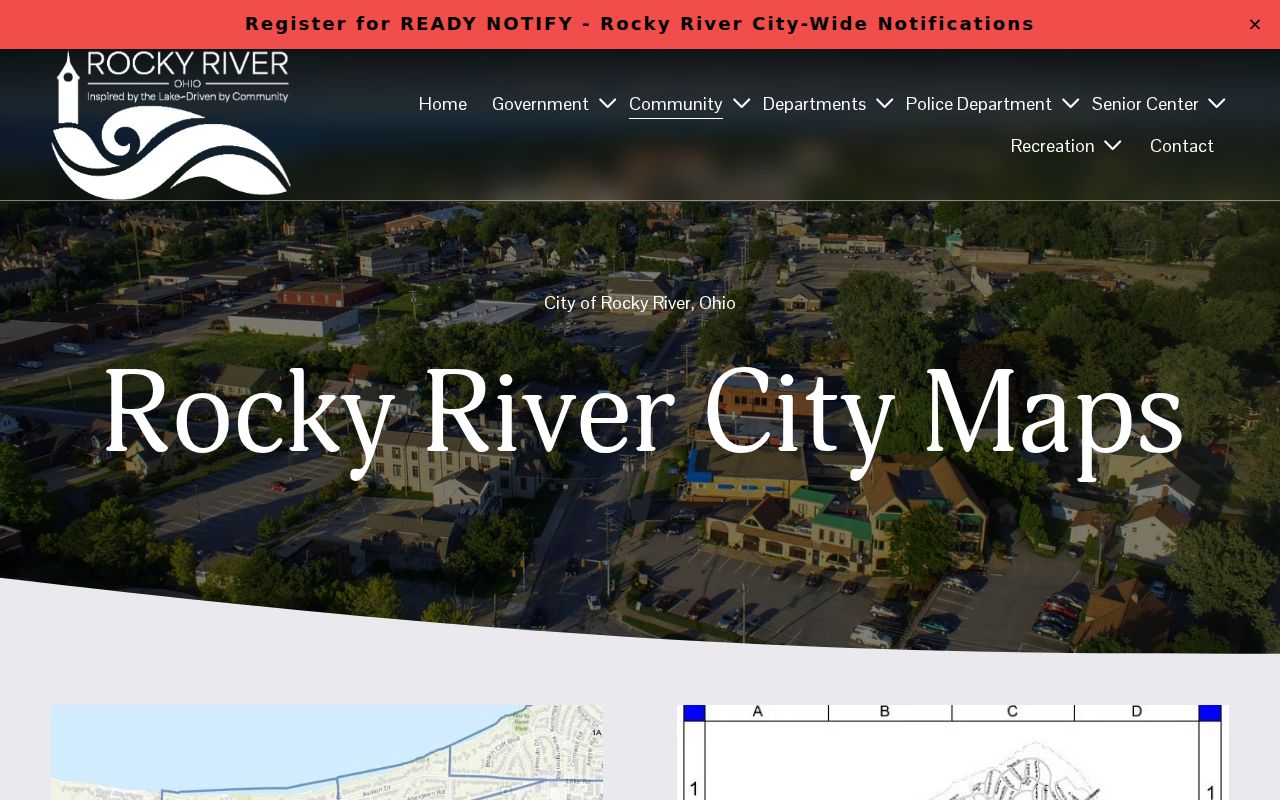
City maps help place a street in municipal context, while the Fiscal Officer's parcel resources are the route for parcel geometry and legal-property research.
Rocky River Streets in CEGIS
The county's CEGIS viewer is another visual entry to parcel context. It is useful for checking the relationship between a selected parcel, adjoining street lines, and the surrounding map. The capture supports that limited use. It does not establish a public whole-street resident list, and the visible research does not support claims about unobserved viewer controls.
The Cuyahoga CEGIS parcel viewer is the source for this Rocky River mapping reference.
Use the map to corroborate a selected parcel, then return to MyPlace and the Recorder for the owner and recorded-document trail.
Rocky River Street Permit Routes
The Building Department can be the local fallback when an address question concerns a city application or a dated project. It is at 21012 Hilliard Boulevard and lists 440-356-2139. CitizenServe is the City's 24/7 channel for applications and payments, while paper materials may be mailed or dropped at City Hall. The published description does not establish a public, searchable archive of historical permits, so request an existing record by address and approximate date when needed.
The City describes payment keys that include a permit number with a property address and a separate property-payment route keyed to an owner name. Those instructions identify transaction details, not a public search form or proof of a current resident.
The Rocky River Building Department page documents the department, CitizenServe route, and City Hall fallback.
Use a published City contact to verify any permit-fee request, because the department warns that the City does not accept wire transfers for fees.
Historic Rocky River Street Bridges
Old directory and map searches can fail because the present street label is not the historic label. Rocky River research identifies Wagar as formerly Columbia or Columbus, Detroit Road as North Ridge, Blount as later part of Lake Road, and Wooster as first Mastick. Search both forms when working with an old address, then use the dated map, legal description, and parcel history to connect the older reference to the current property.
No verified source identifies a citywide street-number renumbering year. Preserve the exact number and street form shown in each source rather than inventing a conversion rule. This local name-bridge method is the geography layer that makes older Rocky River results easier to test.
Rocky River Criss-Cross Directory Clues
A criss-cross directory reverses the usual name-first arrangement by organizing entries around an address. Cleveland Public Library materials include Cleveland-area criss-cross directories, and its genealogy guide identifies a Rocky River Directory for 1954-1955. These are historical snapshots, so record the edition year, volume, page, spelling, and address exactly as printed. They are helpful when an address trail needs a time-specific listed name.
For the collection context behind those dated entries, consult the Rocky River Directory Book. A directory line is not proof that every person at an address appeared in the volume or that the entry still applies today.
Rocky River Archive Address Routes
When a modern address trail stops, Cuyahoga County Archives provides an older-record path by appointment. Its property guidance reports tax records from 1819 through 1986, original maps from about 1860 through 1945, and suburb atlases for 1852, 1874, 1892, and 1903. Later maps are directed to the Fiscal Office Map Room. Bring the street form, parcel, dimensions, and legal description because the Archives notes that all may change over time.
- Parcel
- A county property identifier that helps connect an address to tax and recorded-document research.
- Situs address
- The physical parcel address used for taxing or mapping, distinct from a correspondence address.
- Plat
- A recorded subdivision or map reference that helps place a parcel within its legal layout.
- Criss-cross directory
- A dated directory arranged by address, useful for locating the listed name at a particular street number.
Rocky River Street Directory Limits
A property owner or mailing address does not prove who currently lives at a property. An owner may be an individual, trust, estate, or business, and tax correspondence can go to another address. Recorded-document parties show a role in a specific instrument. Historical directories show a person or business as listed for their edition. Utility and motor-vehicle address data are not a public street record, and Ohio Safe at Home can protect qualifying addresses.
Lawful personal use. Use Rocky River address records for legitimate personal, civic, family-history, or property research. Do not use them to target, stalk, harass, intimidate, or harm anyone, and do not try to reconstruct protected addresses.
When an online record is incomplete, ask the responsible office for the existing record using a narrow address, parcel, document number, or date range. Ohio's Public Records Act route does not require an office to create a new street roster.